Mt. Pleasant to Seeley-Woodworth
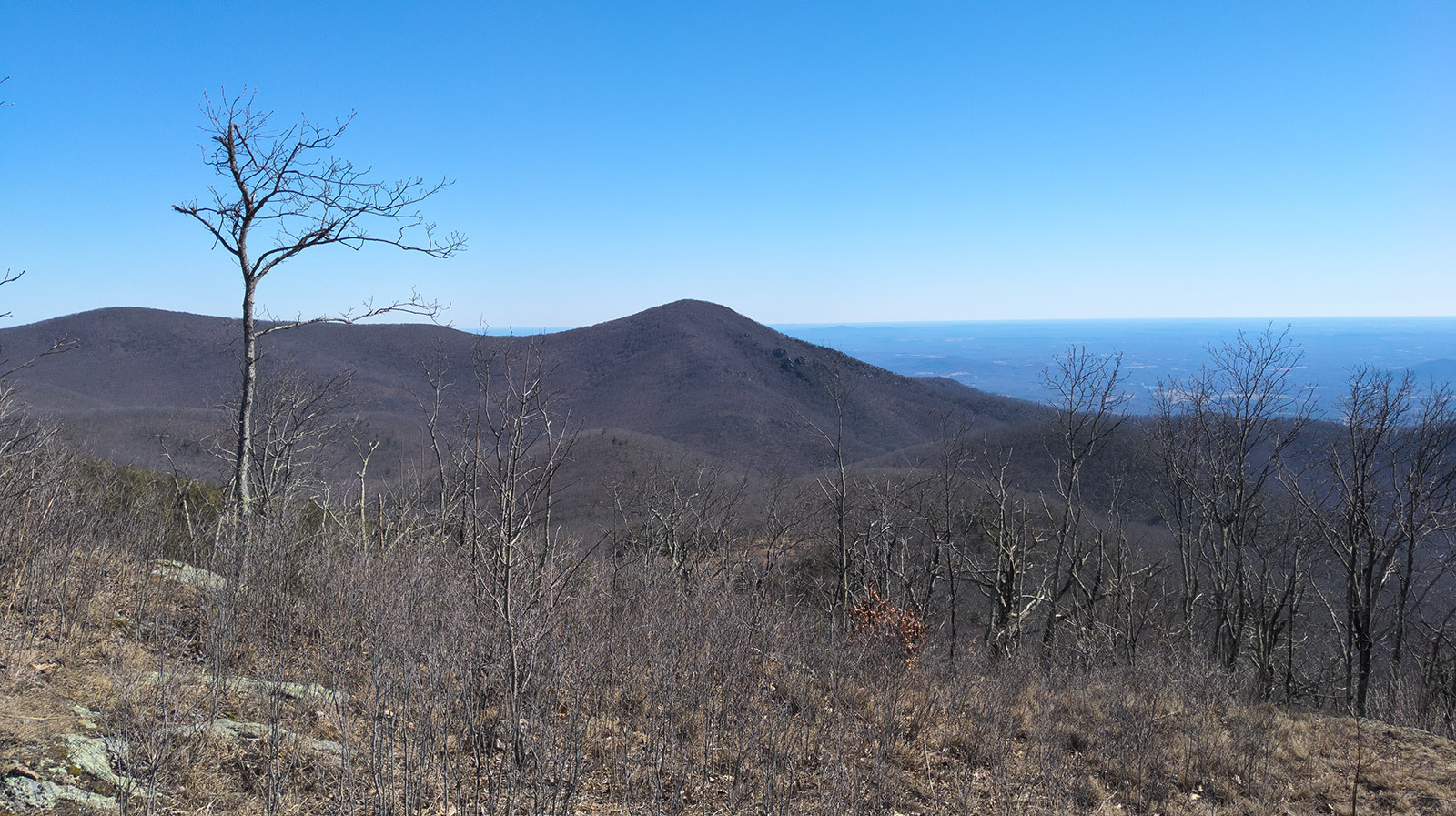
Dates of this trip were 2/18/23 through 2/20/23
A few years ago, my friend Chris and I finished the Mountain Masochist trail race, a.k.a. MMTR (read about that Type 2 adventure here and sign up for it... if you dare, here) which takes place in and around Montebello, Virginia. While en route to the finish line, we circumnavigated a popular mountain named Mt. Pleasant and remarked how it would be a good place for a backpacking trip. Even during that trail race, we were brainstorming route ideas. When opportunities for trips arose in subsequent years, we always had Mt. Pleasant on the list as a possible destination. For whatever reason, other places took precedence but finally, this year, we made the choice to go and we thoroughly enjoyed it. Read on to find out more about how our trip went.
The Plan
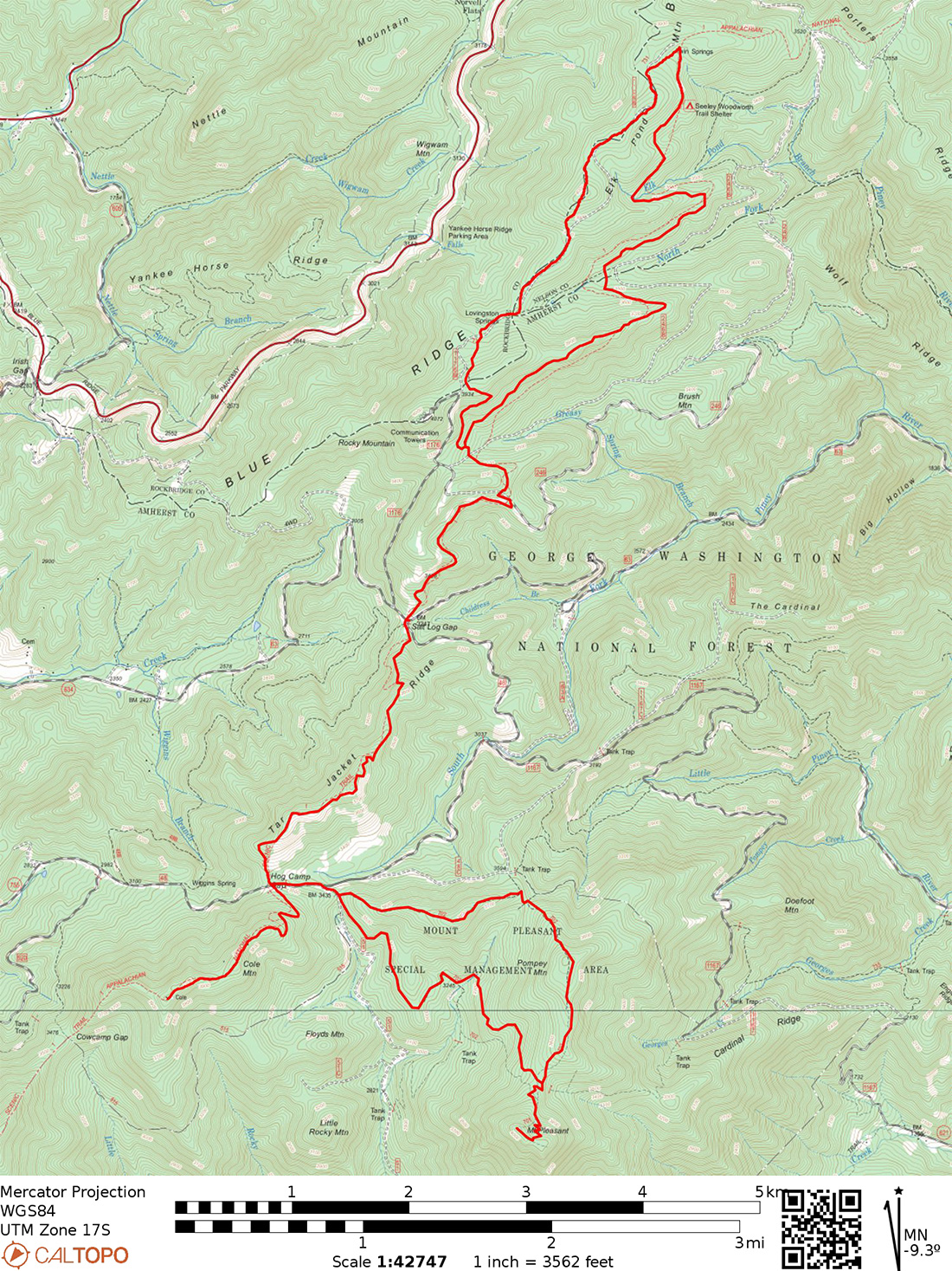
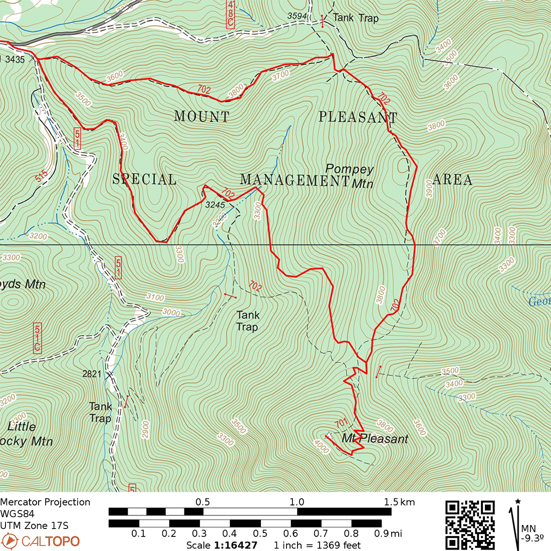
Loosely speaking, the plan was to park at the popular trailhead for Henry Lanum trail (the trail that circumnavigates Mt. Pleasant), do a short out-and-back to the summit of Cole Mountain. Then use Henry Lanum to get to the Mt. Pleasant summit spur trail and set up camp for night 1. We would wake up early enough to hike up to the summit and catch the sunrise then head north to Seeley-Woodworth shelter using the A.T., forest service roads, and Lovingston Spring trail for night 2. The hike out would use the A.T. heading south, eventually hooking back up with the route we took the previous day to get back to the starting point.
A breakdown of the the days' hikes and maps are below.
| Segment | Distance | Elevation +/- | Duration |
|---|---|---|---|
| Day 1: Mt. Pleasant TH to Campsite 1 | 5.6M | +1,789 ft./-1,480 ft. | 3:44:00 |
| Day 2: Campsite 1 to Seeley-Woodworth Shelter | 10.8M | +2,940 ft./-2,894 ft. | 7:15:00 |
| Day 3: Seely Woodworth to TH | 7.66M | +1,929 ft./-2,370 ft. | 5:06:00 |
Overview of the route:
Day 1 Route:
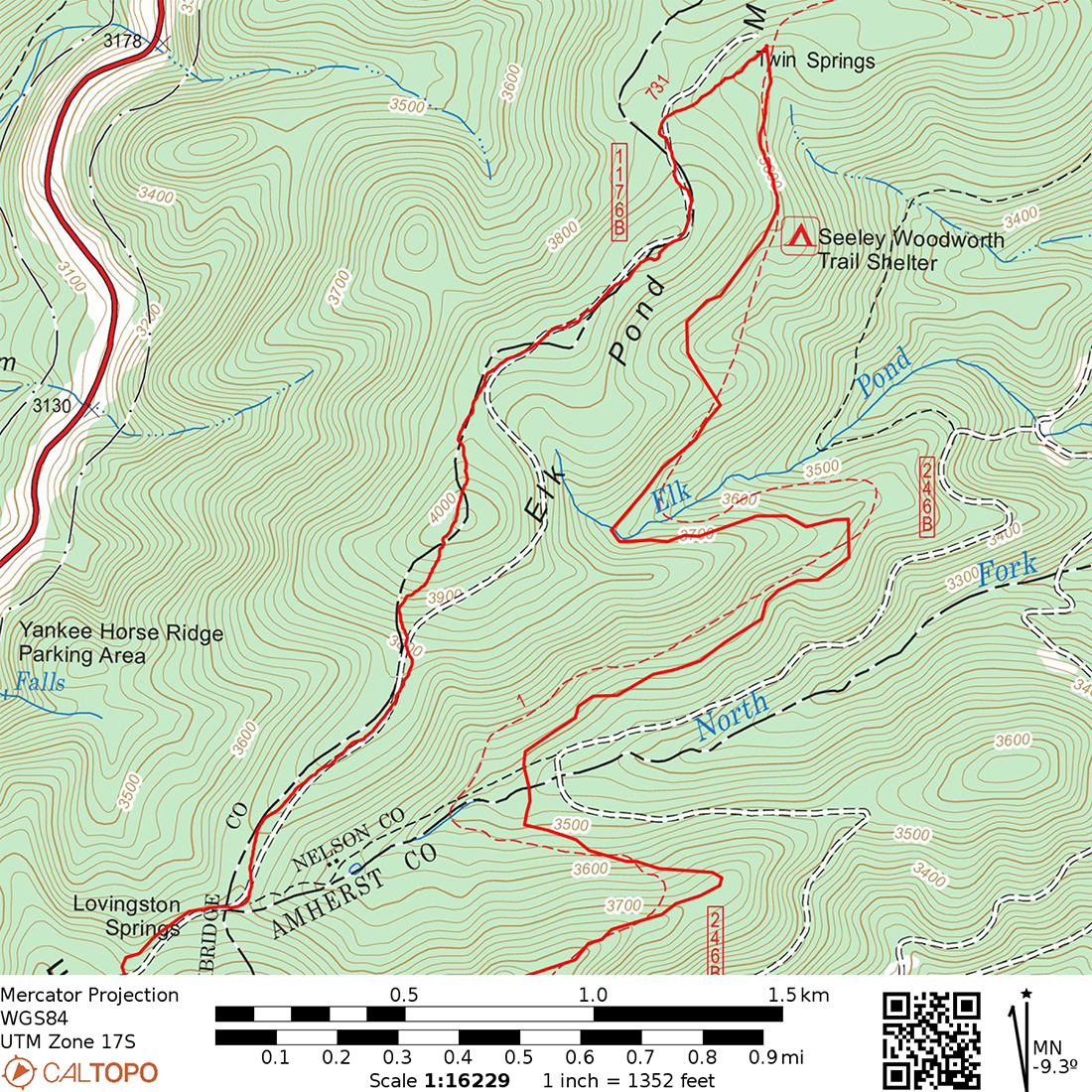
Day 2 Route:
Gear
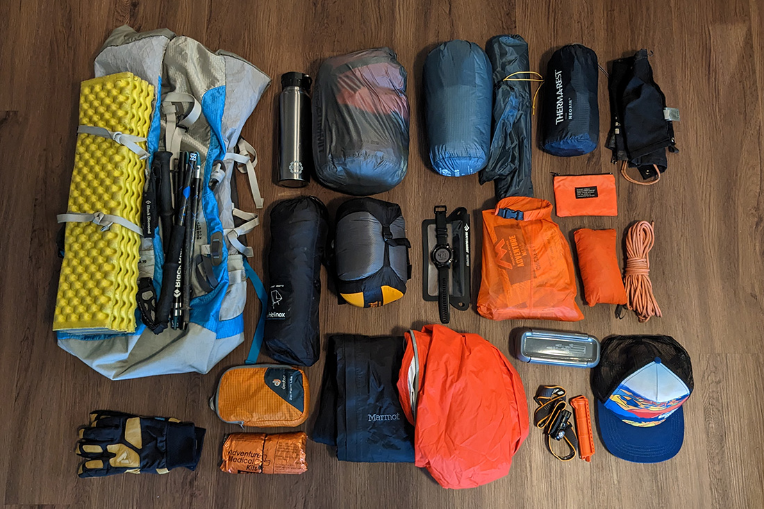
For this trip, I used my standard winter setup except for... my coat. Notice that there is no puffy coat in the pic below. For some reason, the coat that I bought specifically for this trip did not make it onto my gear list nor did it find itself in my vehicle upon departing Roanoke for Mt. Pleasant. Still scratching my head about that one. More on this fun mistake later.
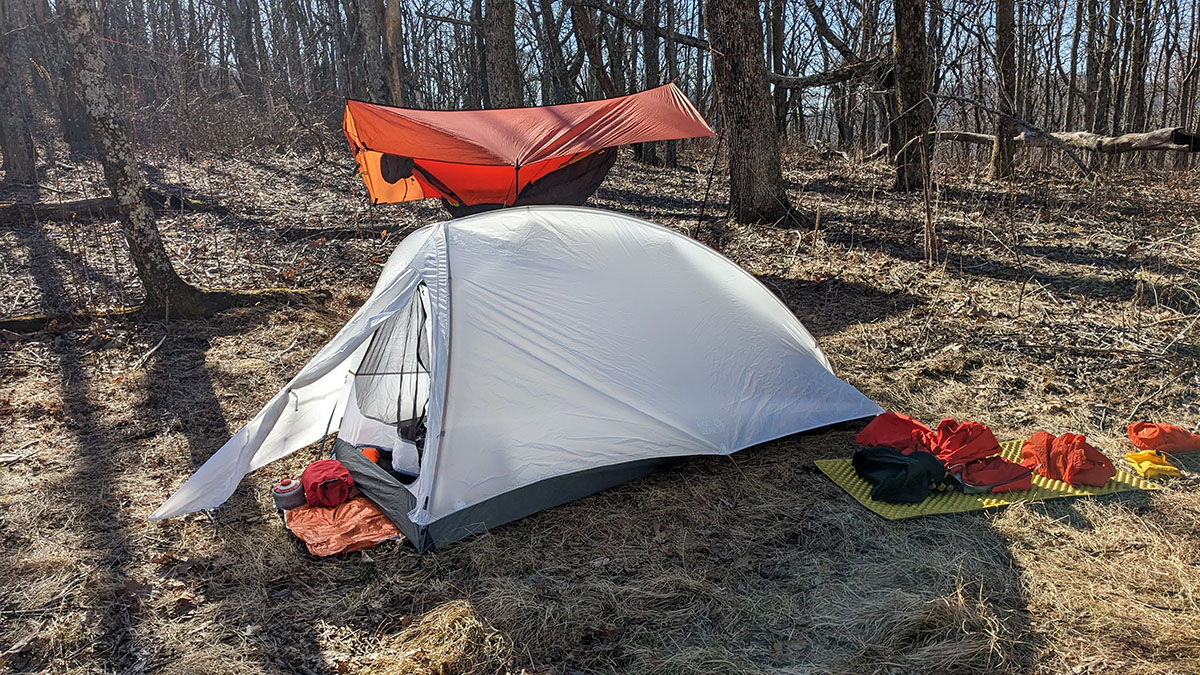
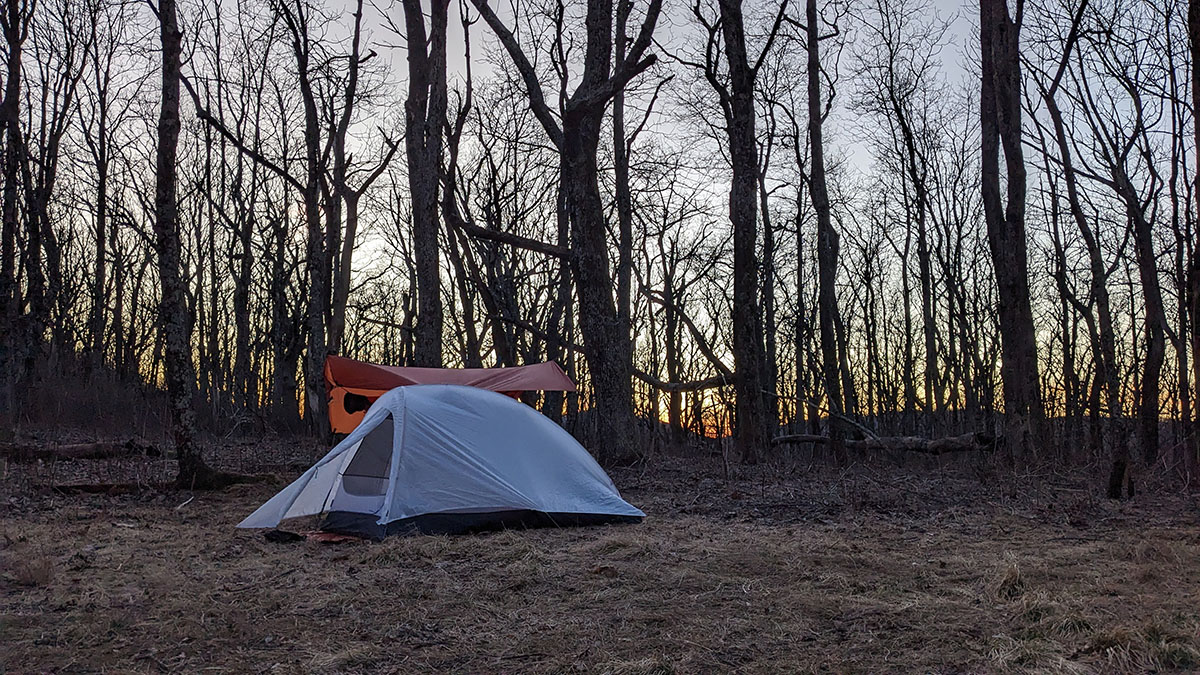
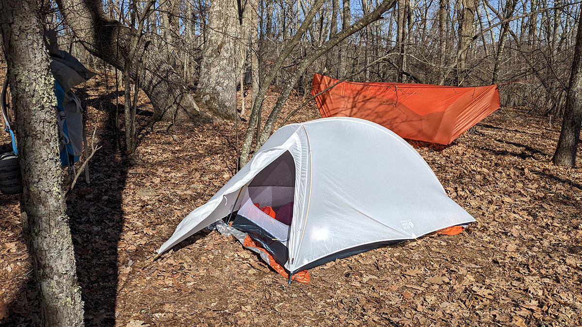
I think I'll just chalk it up to distracted excitement over my new Mountain Hardwear Nimbus UL 1 tent. Earlier in the year I cashed in some credit card points and got a few REI gift cards to help cover the cost of the tent (which was also on sale... DOUBLE SCORE!) and was jazzed to finally try it out in the field. Err... mountains.
Day 1
5.77 M | +1,614 ft. gain | -1,332 ft. loss
On the drive up to the trailhead Chris and I were discussing our gear and as we hit that last gravel "road" to the Mt. Pleasant trailhead ("road" is in quotes because it was more of a Jeep trail but that's OK because we were in Chris's Jeep and Jeeps can drive on Jeep trails). While we were chatting, bumbling along the trail road in said Jeep it dawned on me that I had forgotten my puffy coat. On a winter trip. What. Is. Wrong. With. Me. As luck would have it, Chris brought his puffy down vest, which would no doubt, keep me slightly warmer than an ice cube. So at least my torso would be toasty but my arms might freeze off. It's all good though because I probably wouldn't die. Onward and downward... went the mercury... to my grave.
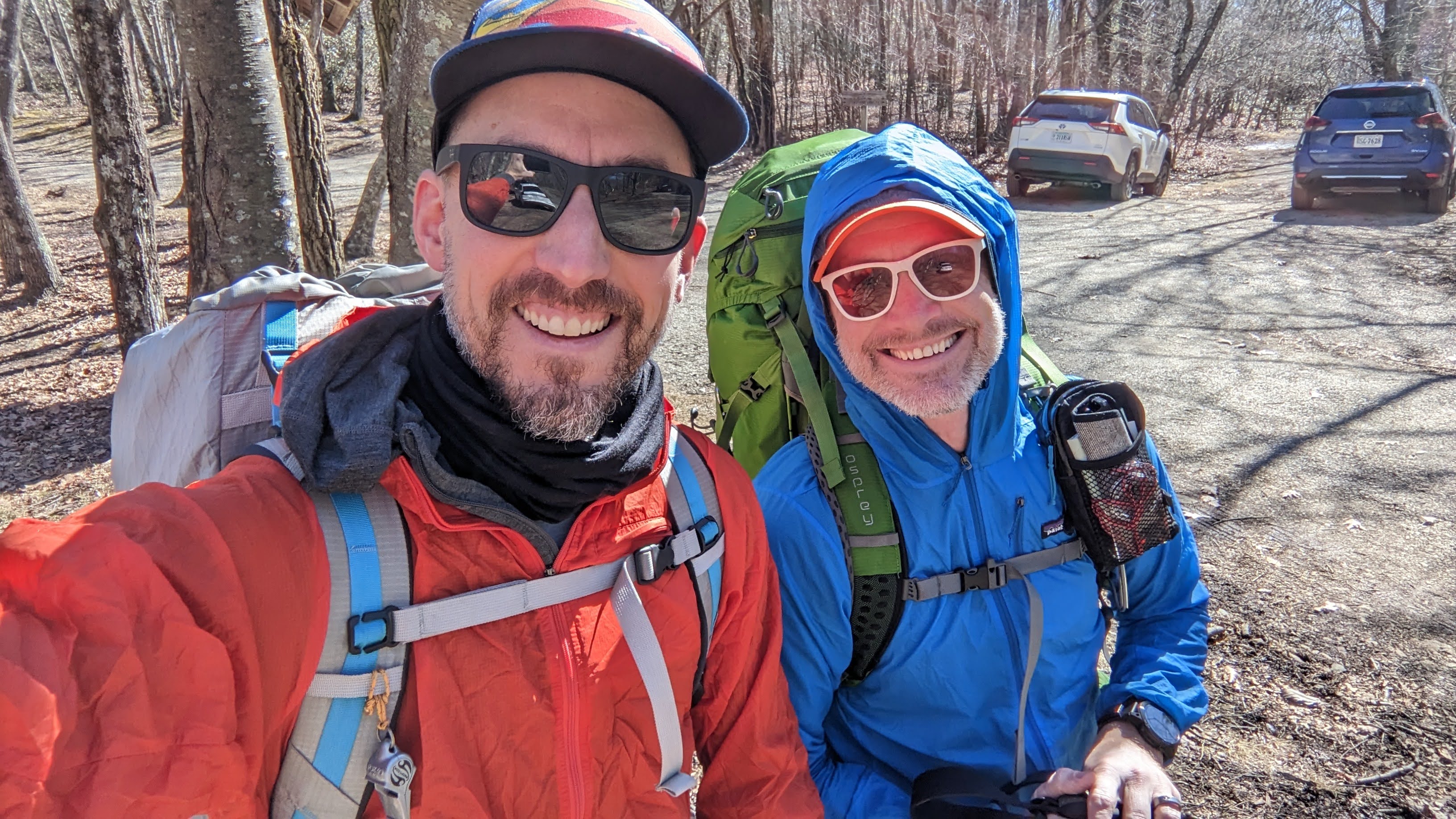
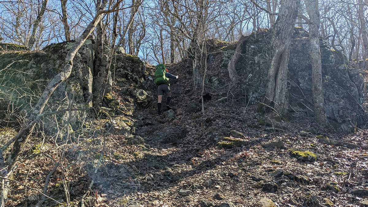
We donned our packs, took the obligatory "before" selfie and hit the trail. As we trundled up Cole Mountain we remarked multiple times about how we could have just left our packs at the Jeep since this portion of our route was an out-and-back. In fact, the WHOLE route was an out-and-back in the grand scheme of things. If you think about it very hard, we really didn't need our packs or gear at all so it turns out I was just following my gut instincts with forgetting my puffy. It wasn't actually forgetfulness. It was a choice.
Near the top of Cole Mountain, Chris taught me some Spanish words like derecho, derecha, and izquierda. And we both subsequently remarked, multiple times, again, that we should have just gone derecho to the Jeep to leave our packs. Oh well. Water baja the bridge. Or, umm, water arriba the bridge. Nevermind.
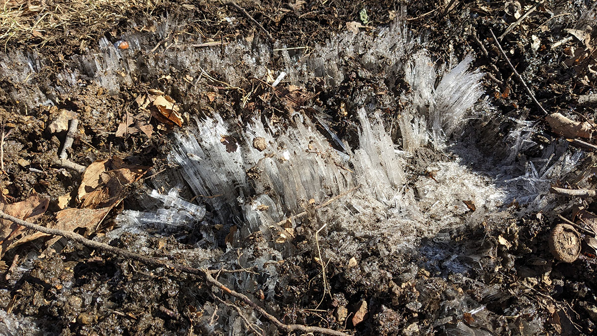
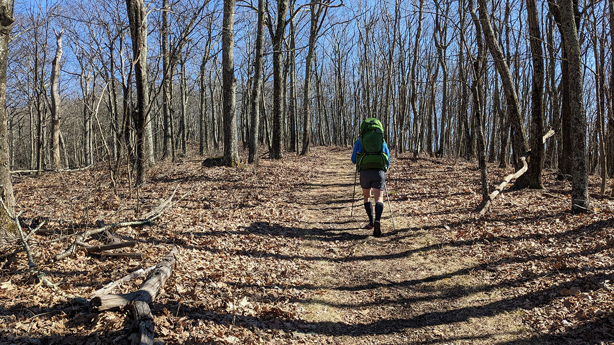
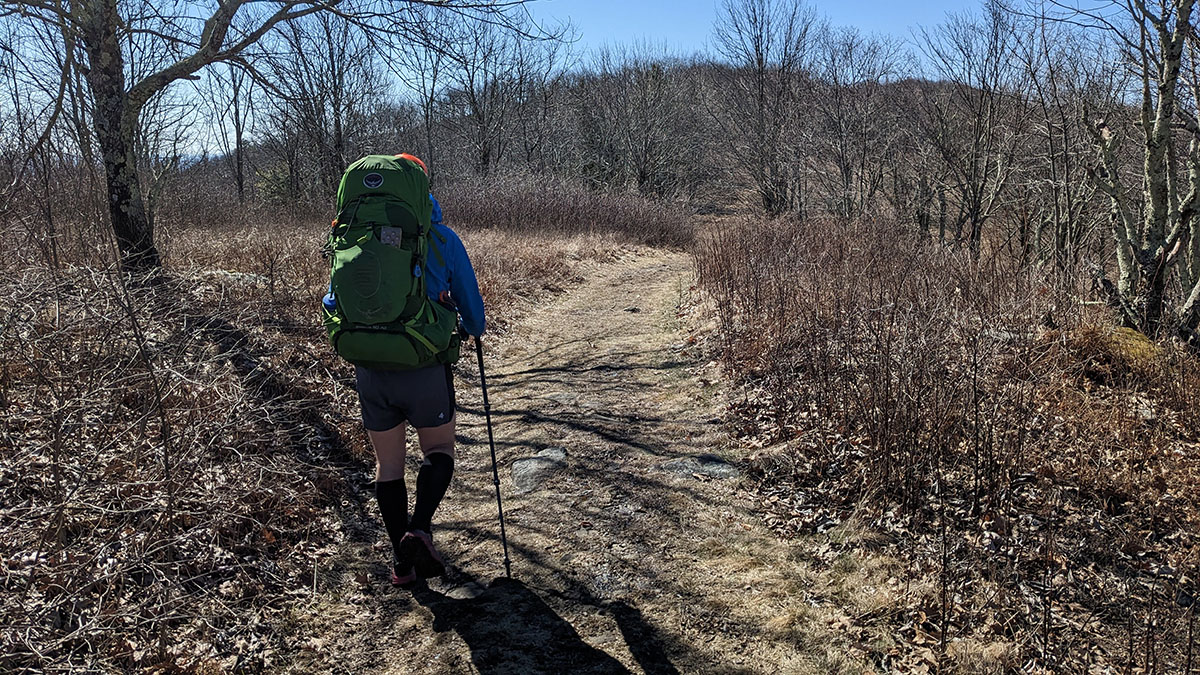
The views atop Cole were incredible and we were glad even with the extra 35-40 lbs. we didn't need. Then it was time to head derecho down the trail and begin the business of traveling out to our campsite for night 1 along the shoulder just baja la cima of Mt. Pleasant via the Henry Lanum trail.
This portion of the route was on the MMTR course and we had flashbacks to that moment in the race.
Me: "Remember this part of the race and how much it sucked?"
Chris: "Didn't the whole thing suck?"
Me: "Oh yeah... now that you mention it. Want to do it again sometime?"
Chris: ಠ_ಠ
But... being in nature!
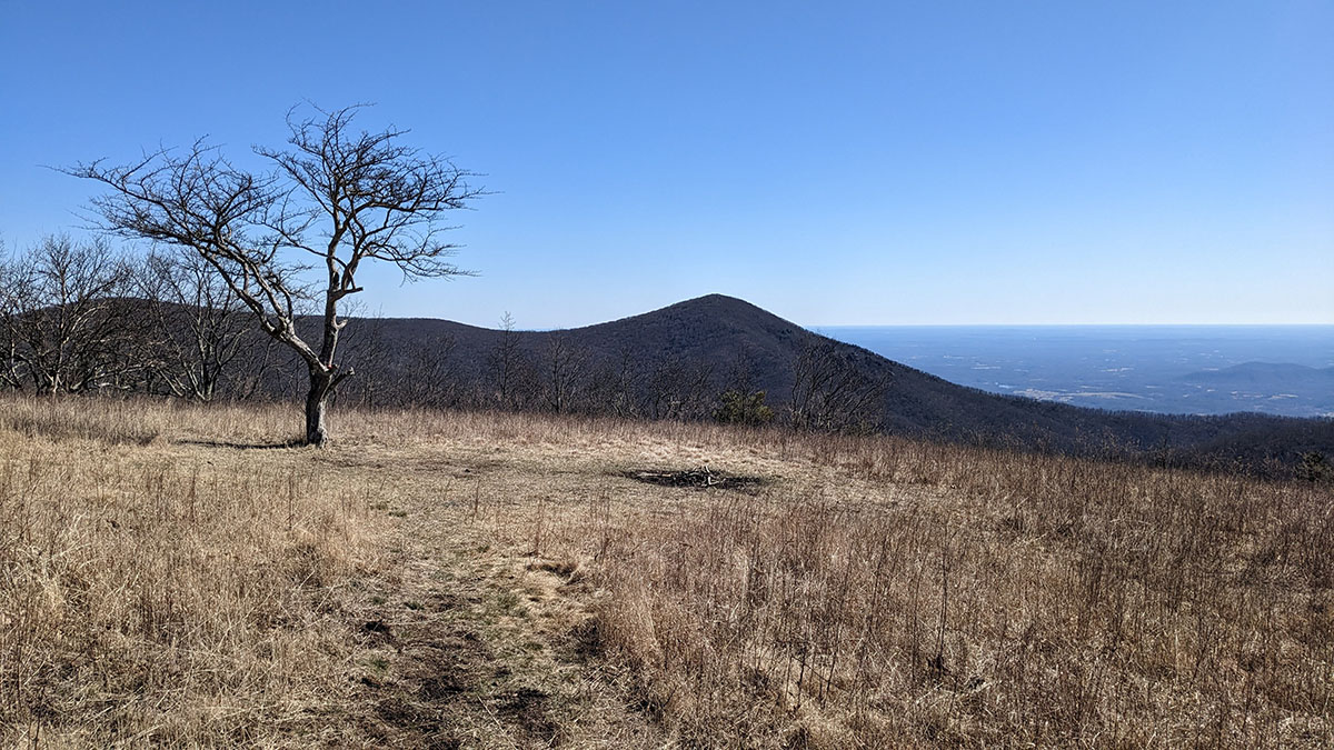
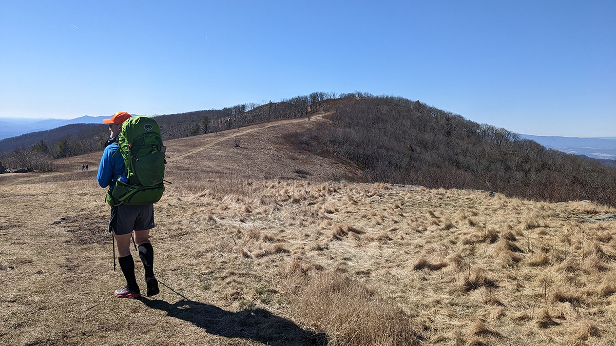
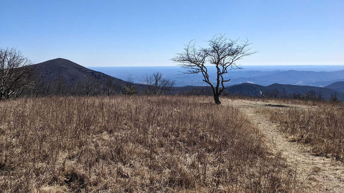
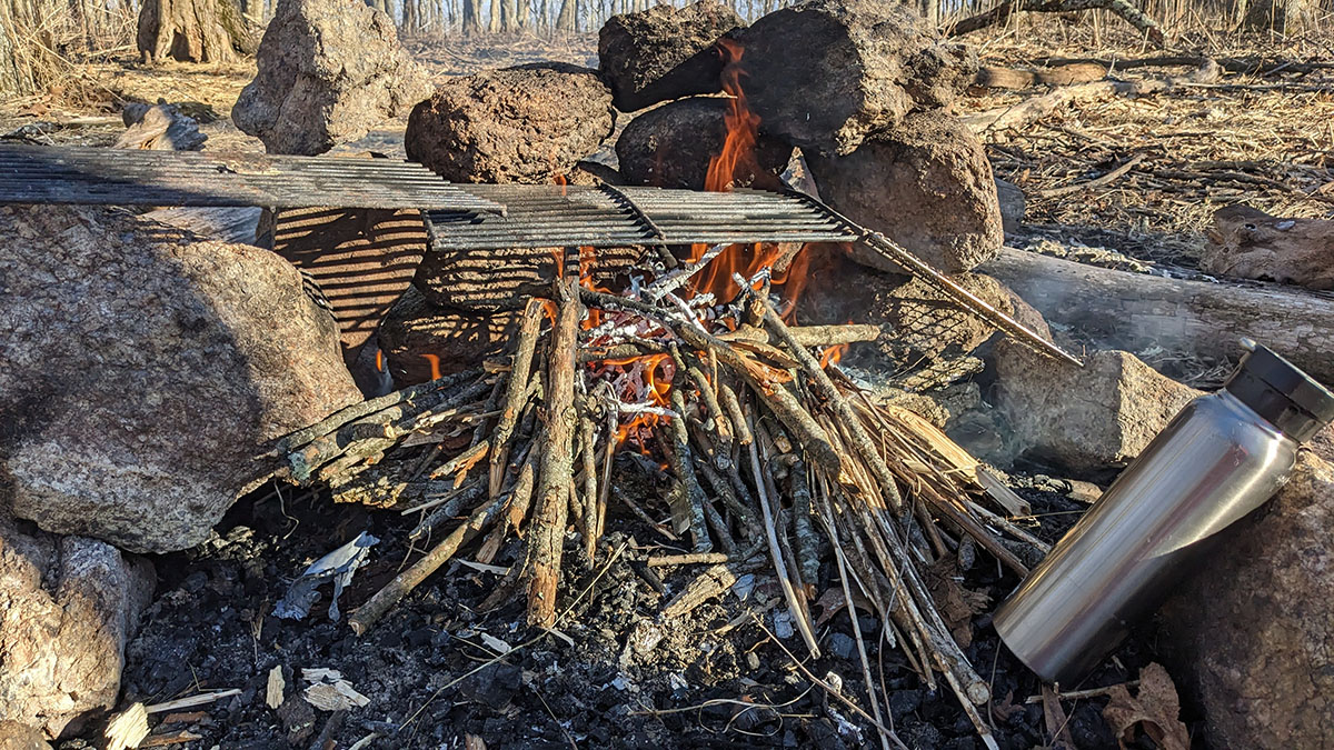
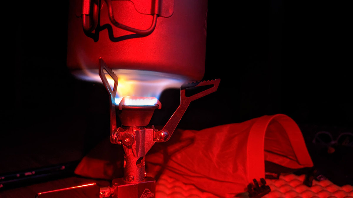
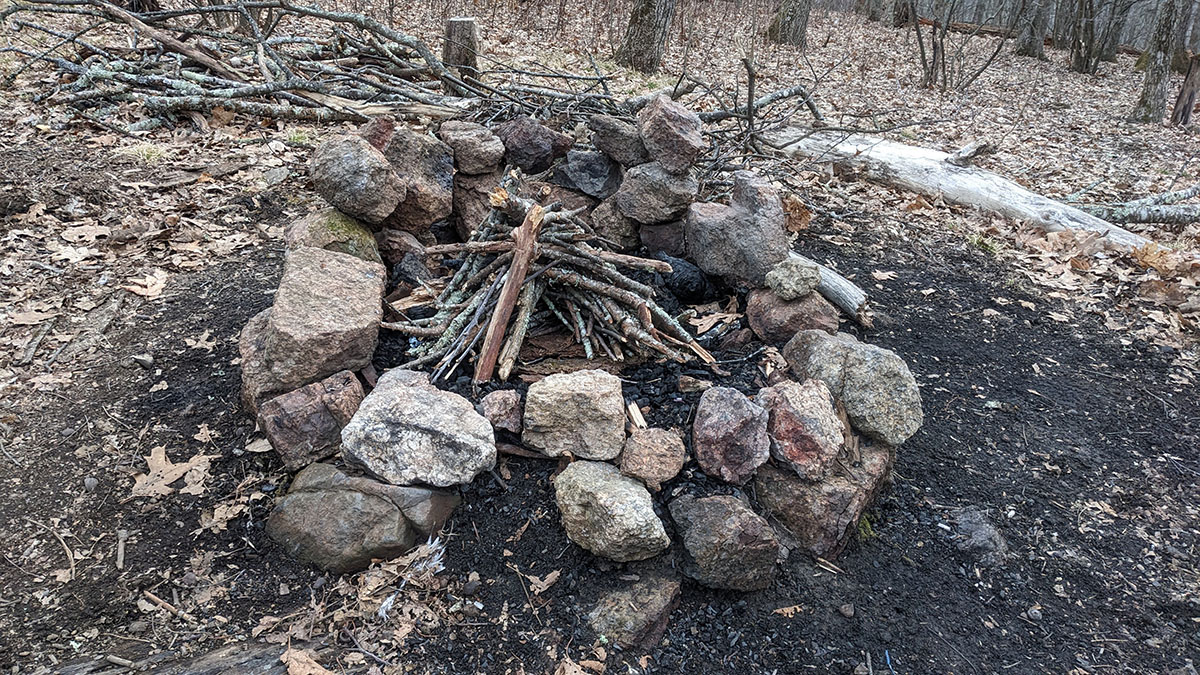
We found a very nice campsite right near the spur trail that heads up to the summit of the mountain, got some water, set up our tents, got a fire going, ate dinner, then did a whole lot of nuthin'. We're so lazy.
The hour eventually moved, as it does, for me to find a hole in the ground to do some business of the second kind. I mentioned to Chris that I was going minimal by not bringing T.P. and he totally called me out and said, "you forgot T.P. didn't you?" To which I replied "Uhh, no, uuhh, I'm shaving by base pack weight by a few grams. Milligrams, even. OK, ya got me. I forgot my T.P." Leaves make great T.P. btw. Especially in winter. Are you seeing a pattern here with the forgetfulness? ಠ_ಠ
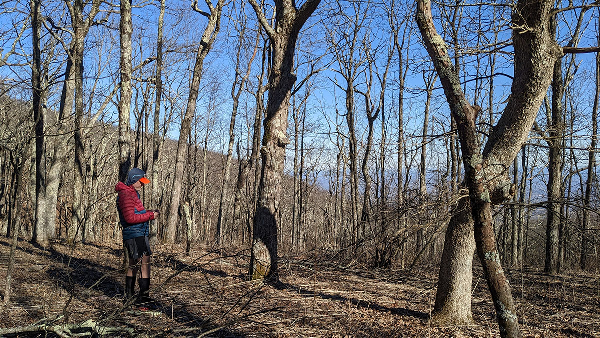
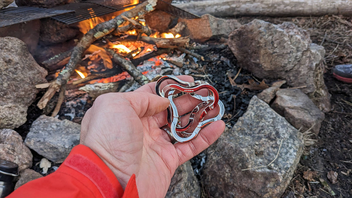
Chris hung the bear bag, I donned the down vest that he leant me, we started a fire, I tried to solve a puzzle, and my arms thankfully did not freeze off. After some dinner and sitting around enjoying the fire, it was time to head to bed.
Day 2
11.73 M | +2,406 ft. gain | -2,288 ft. loss
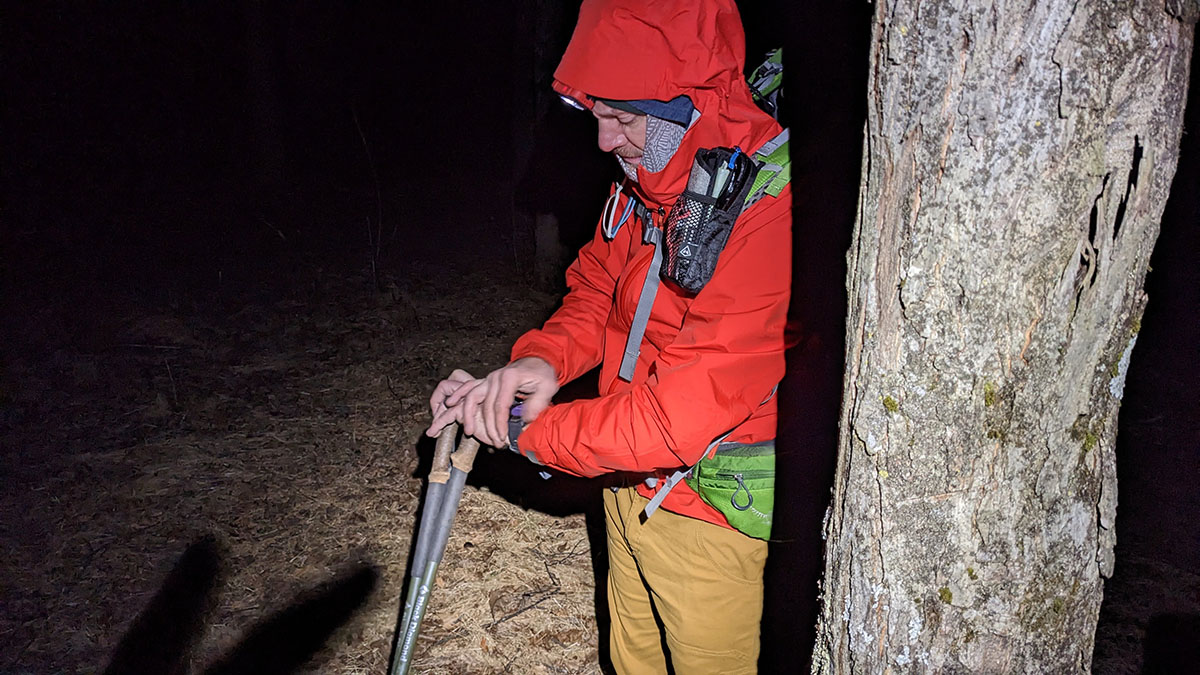
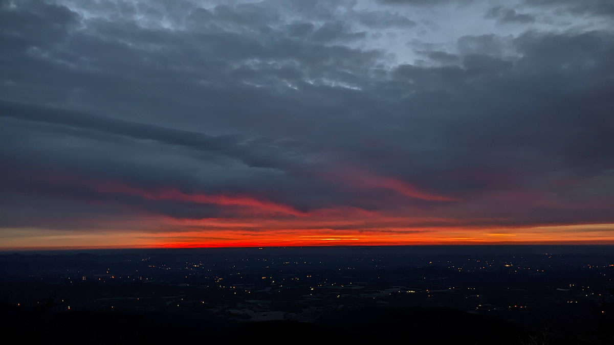
We got up before sunrise and began the process of breaking down camp with the intention of hiking up to the summit to catch the sunrise. Literally catch it. With bare hands! Via our cameras.
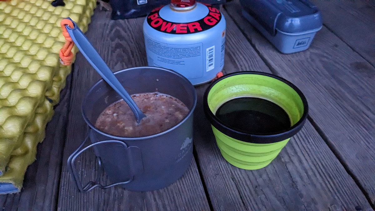
We made the short hike up to the summit just in time to make breakfast and coffee and enjoy the breathtaking views of orange glow spreading through the sky. It was, well, in a word, pleasant. Maybe even Pleasant with a capital P.
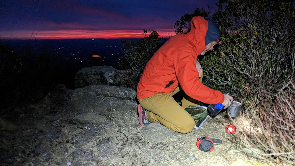
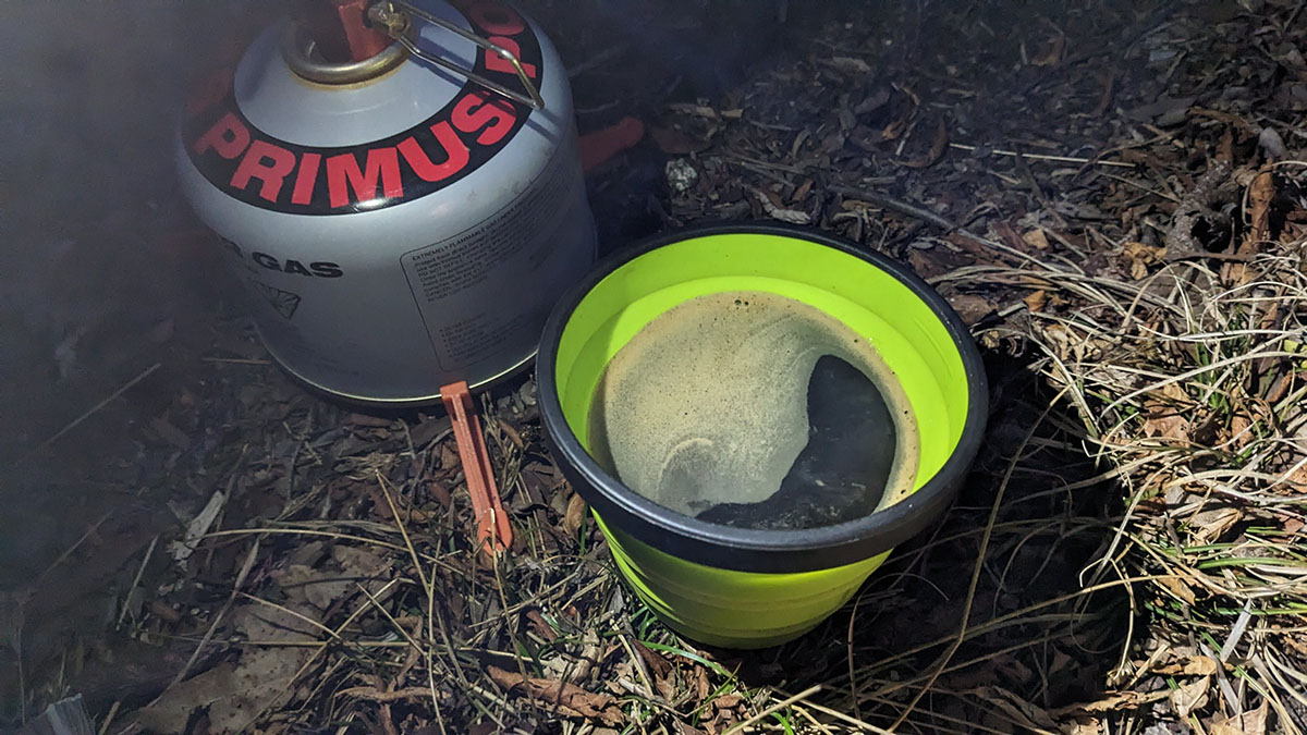
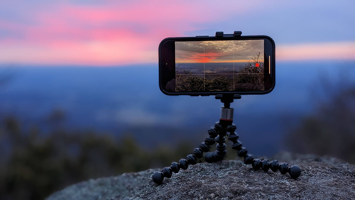
After enjoying several instant coffees at the summit, we got back on the trail so that we could head north to our destination for night 2, Seeley-Woodworth shelter. The route used the A.T., forest service roads and then Lovingston Spring trail which traversed Elk Pond mountain and comprised most of the elevation gain for the day's mileage. Down, up, down, down, up, then up some more, then up again, slightly down, a bit flat, then up A LOT, then down a bit, then down a bit more and we were at Seeley-Woodworth looking for some Sealy Posturpedics to lay down on because that was a tough hike. Mainly the "up" part.
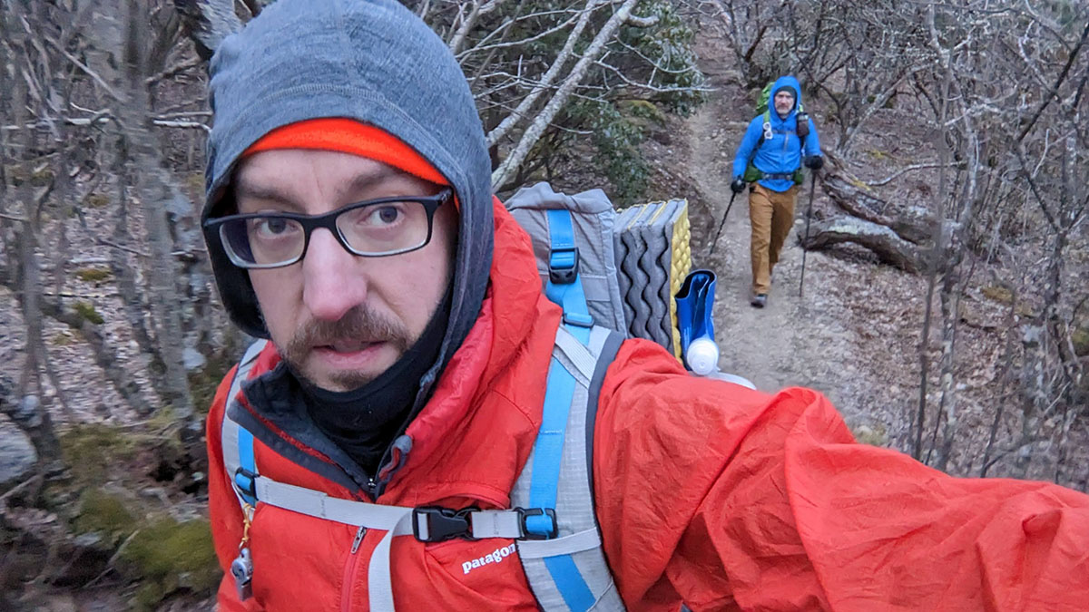
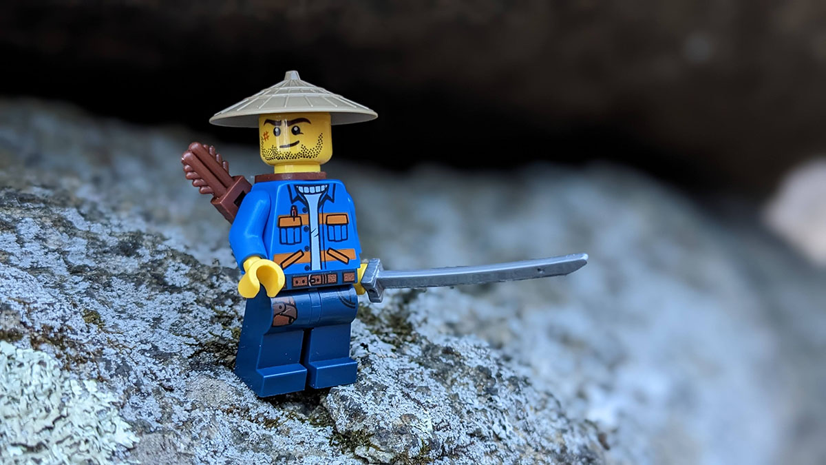
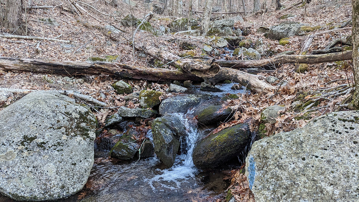
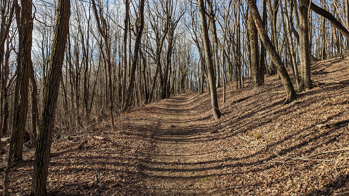
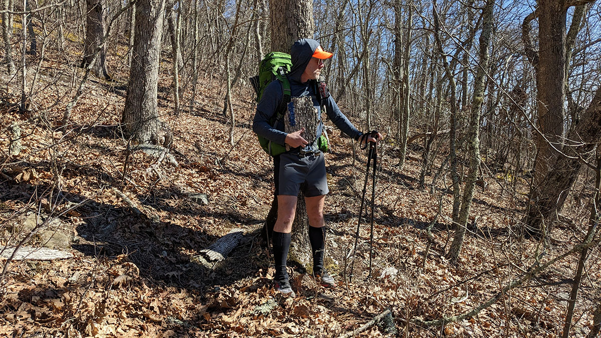
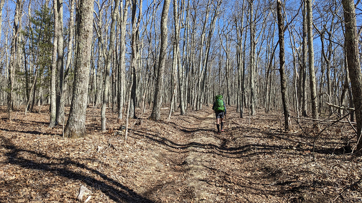
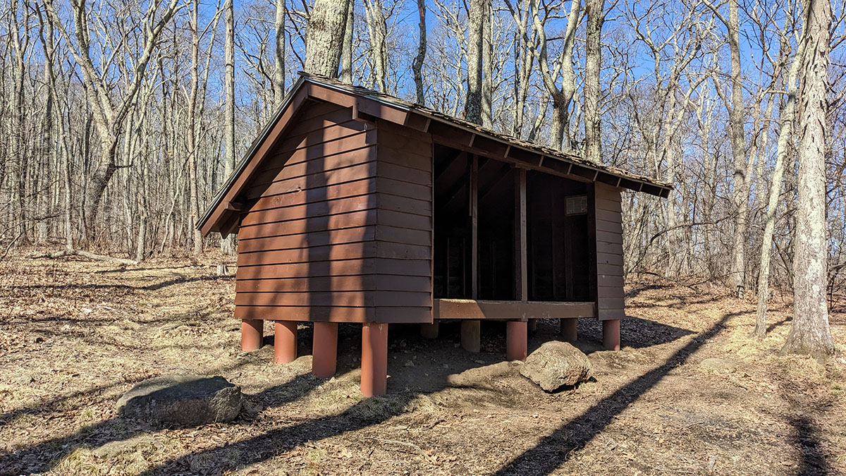
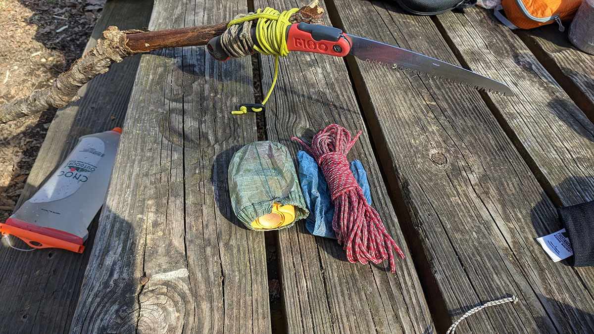
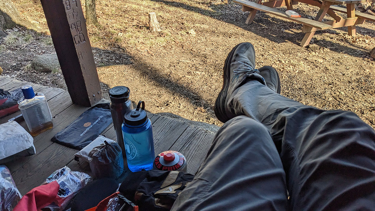
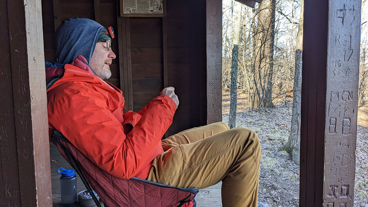
Upon arrival at the shelter, we scoped out spots to put the tent/hammock and found the least worst option. We then began the process setting up and subsequently commenced with gathering firewood but also observed that it was quite windy. A little... too windy. The brisk breeze did not subside and neither did our desire to not create a forest fire. Lots of double negatives there... So we elected by unanimous vote to forgo making a camp fire so that we did not generate a forest fire and hunker down in the conveniently placed shelter to make dinner and partake in the evening's activities of idleness and torpidity.
Day 3
8 M | +1,368 ft. gain | -1,743 ft. loss
After a very windy night of tree branches snapping off in the distance and roaring gusts whipping through our campsite, we awoke to cool temperatures and overcast skies... perfect hiking weather. We got up, began the process of breaking down camp, and simultaneously enjoyed some coffee and breakfast. After assembling our kit and having a few final sips of coffee, we got on the trail around 7:30am.
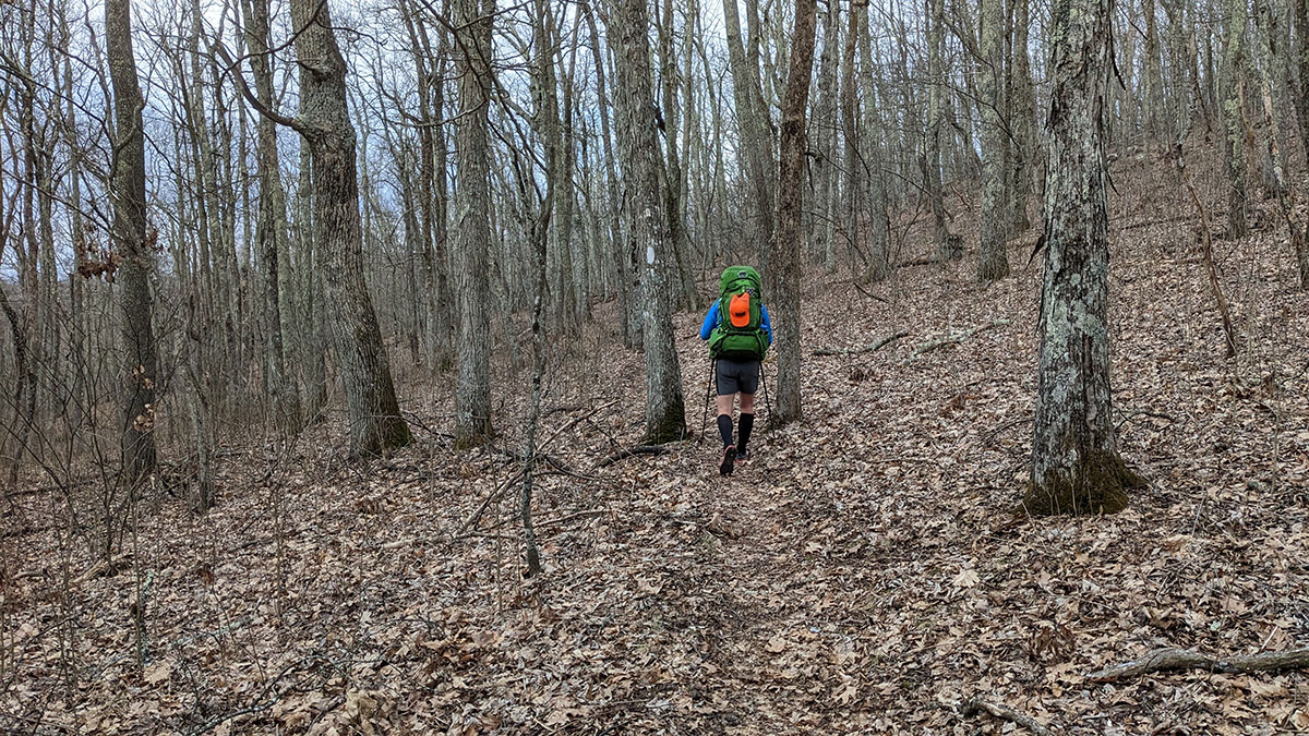
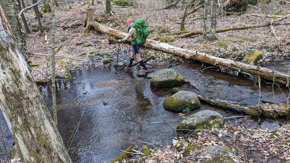
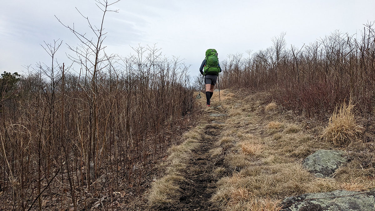
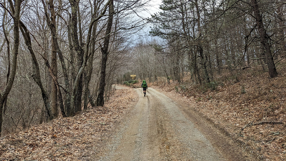
We headed up the shelter spur trail then onto the AT heading south. Crossed Elk Pond Branch, wrapped around Elk Pond Mountain then crossed North Fork Branch making our way to Salt Log Gap. We then proceeded up and over Tar Jacket Ridge, which we had traversed the day before going the opposite direction to make our way to Hog Camp and the Mt. Pleasant Management Area trailhead, where the car was parked.
Final Thoughts
This area has so many interesting features and makes for an awesome setting for a weekend adventure. There are many forest roads and rivers which might also lend itself well to a place for bikepacking. It was also nice to revisit some of the trails we had run during our Mountain Masochist experience a few years earlier. After a few years of putting this one off, we finally made it happen and it was definitely worth the effort.
And special thanks to Chris for remembering to bring his down vest!
