Tour de Dirt Route: 2024
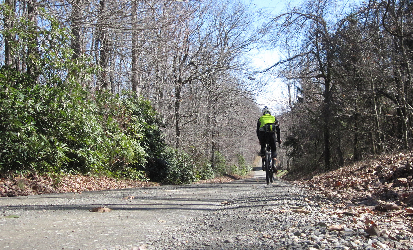
Tour de Dirt is an annual group ride that takes place near Floyd, Virginia in the fall. The route changes from year to year but one of our local bike shops posts past year's routes on their RideGPS page. The "Fiddy" route is a masterpiece of unpaved roads that explores lesser traveled zones of Floyd, Patrick and Franklin counties.
Here's the official route provided by the fine folks over at Cardinal Bicycle.
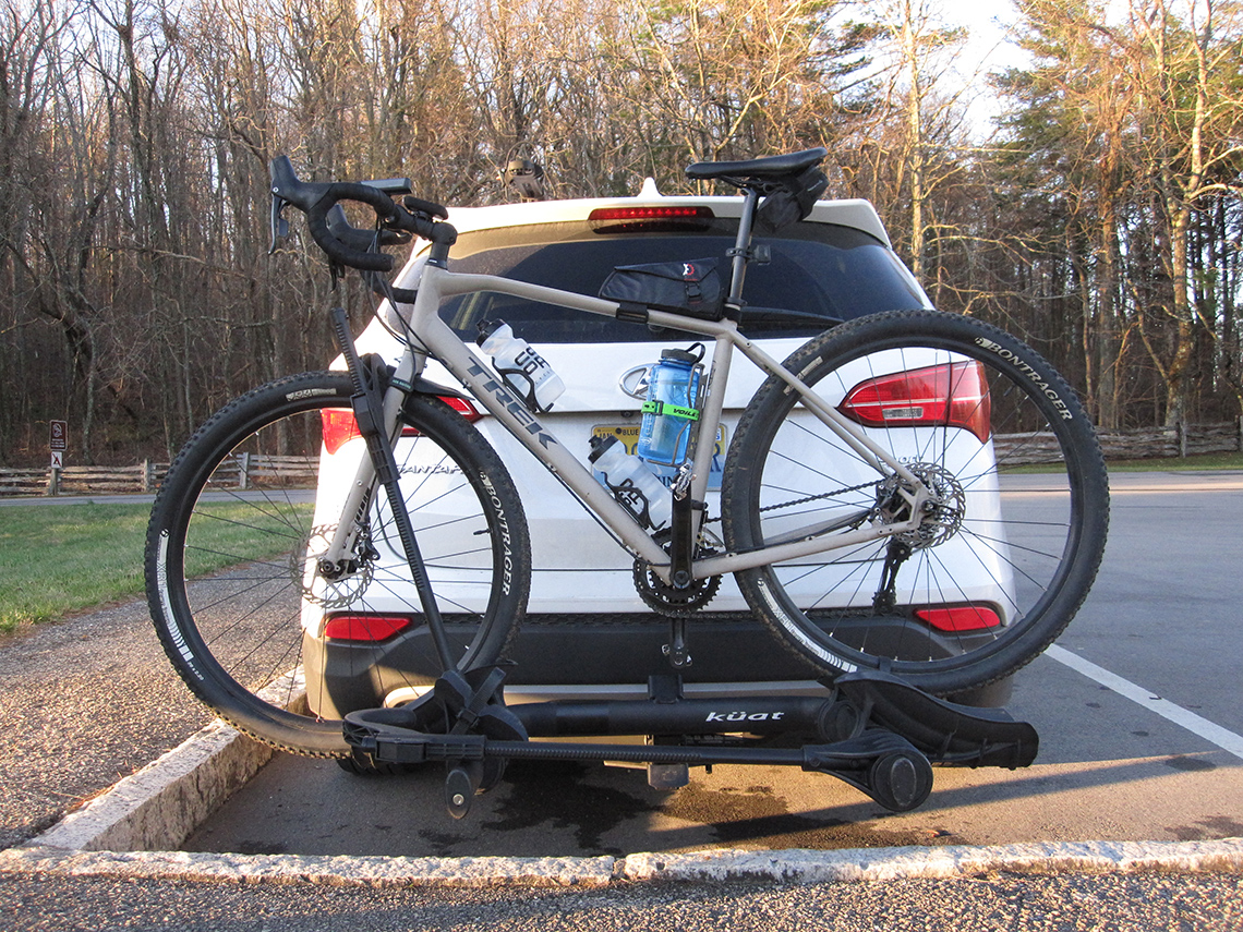
I have not been able to partake in the actual Tour de Dirt event because... life. My version of the route starts and ends at Smart View Recreation Area along the Blue Ridge Parkway. Smart View is very close to the start of the official route, is easier for me to access from my house efficiently, and serves as a decently safe and somewhat socially acceptable place to park the car all day long (park and ride at your own risk).
Doing this route was somewhat of a spontaneous decision. I had ridden it back in 2022 and it blew my mind. The roads and landscapes were magical. Something deep inside yearned to get back out there and experience them groads again. We're in the process of moving to Columbus, OH (more on that in a different post) and my wife and kids were heading out of town to look at a house up there. Since I was staying home to work on house projects, I figured I could squeeze this route in one last time before we moved. I could do a 7 hour ride in 5 hours, right? Right? Wrong. At any rate, I decided to go for it since it was on my bucket list of things to do before we cut town for good.
Wind Advisory and a Sunrise Hike
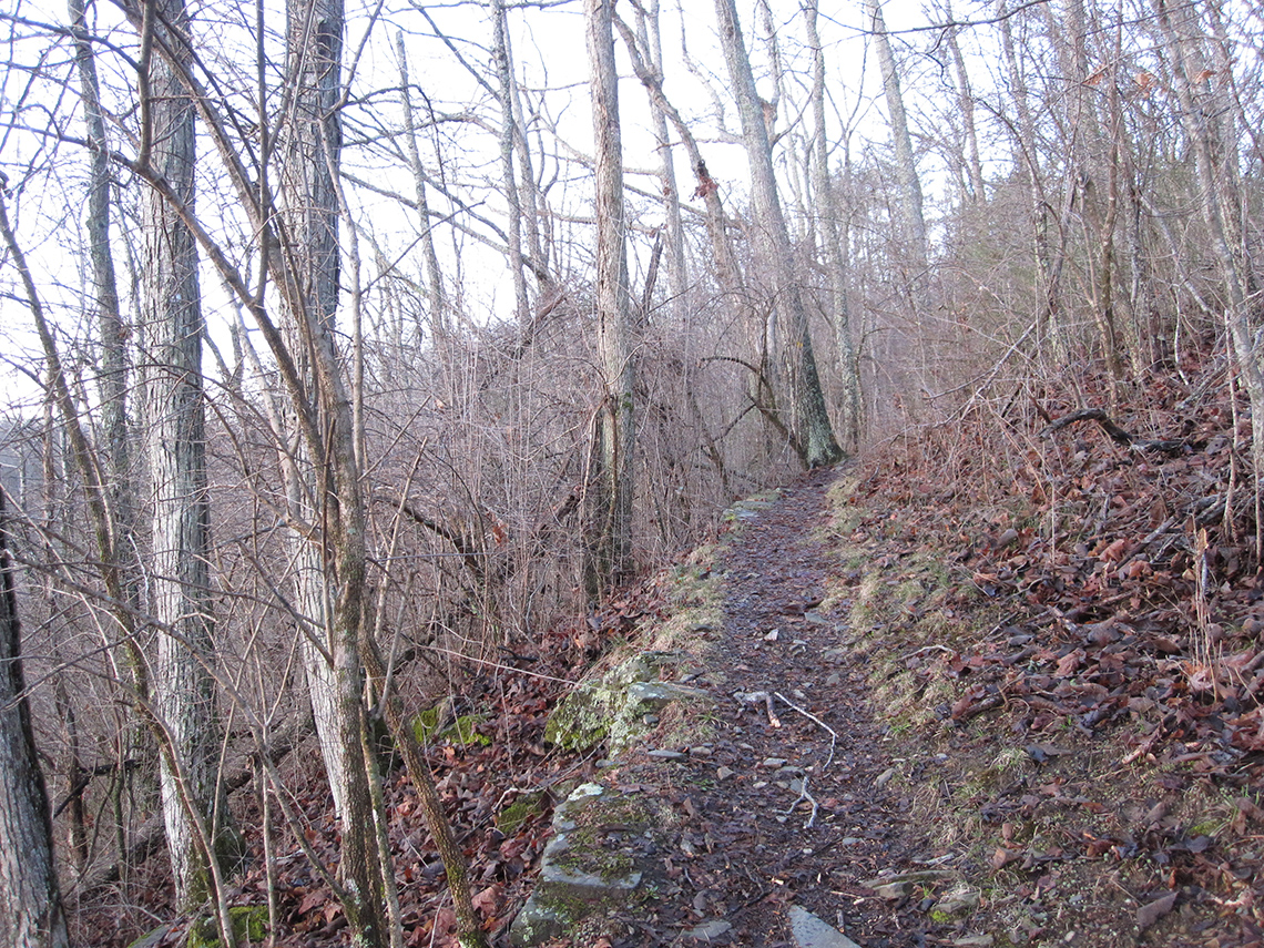
As circumstances would have it, there was a high wind advisory that morning with gusts as high as 50 mph up on the ridge. While driving up there it didn't seem too bad but once I arrived, it was roaring! I sat and debated on following through with my hastily hatched plan. While deliberating I decided to go for a short hike along the trails at Smart View to take in the sunrise at the cabin. As the light emerged from the horizon, the wind seemed to die down ever so slightly enough for me to make the decision to commit and get on the bike.
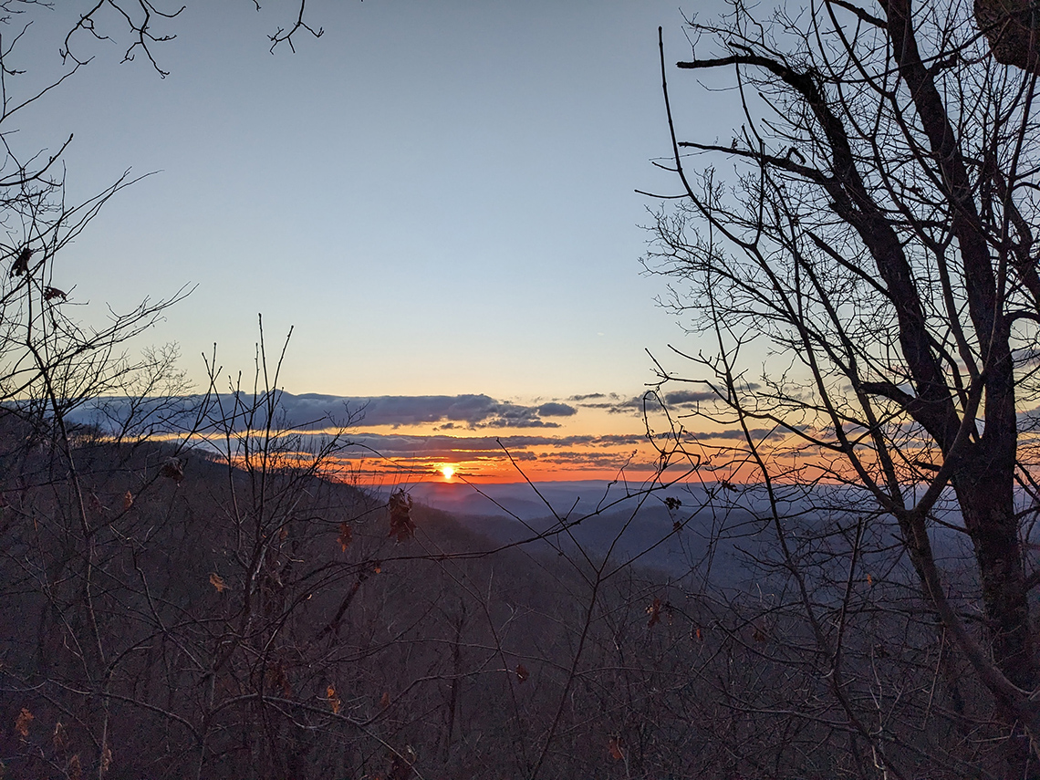
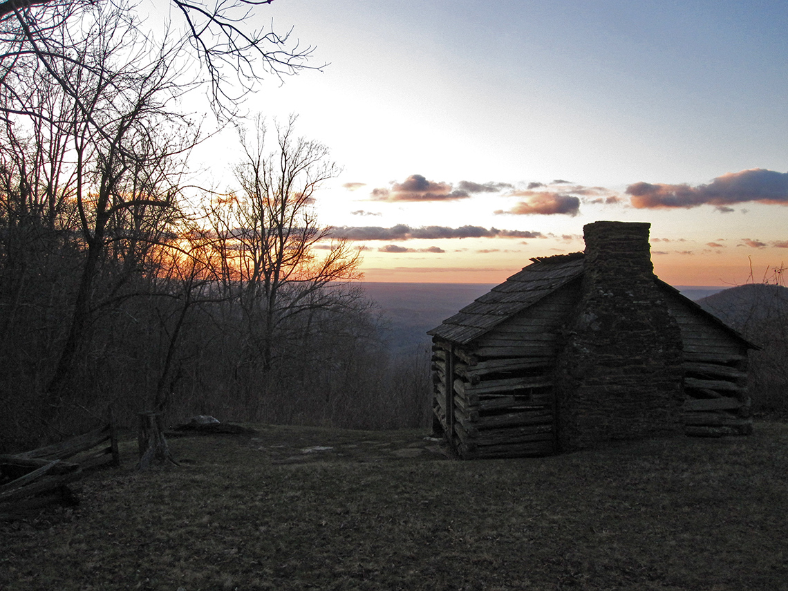
Should I Stay or Should I Go Now?
There wasn't trouble and it wasn't double. I'm glad I chose to go. As the route moved towards the northwest and away from Smart View, which sits at the edge of the eastern continental divide where the wind was blasting, the conditions calmed down significantly and it was quite serene. Nary a gust and more of a pleasant flurry of air. A breath of wind, as it were, in the morning warmth of a crisp late winter day.
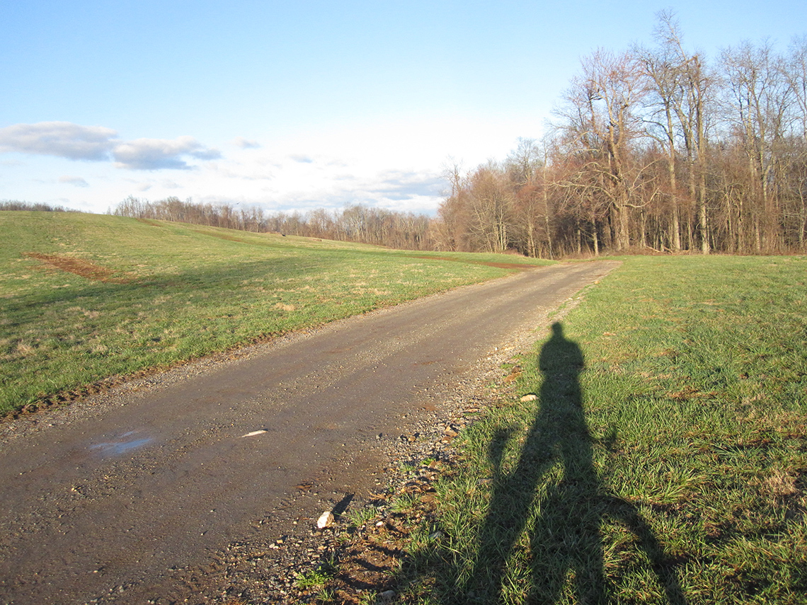
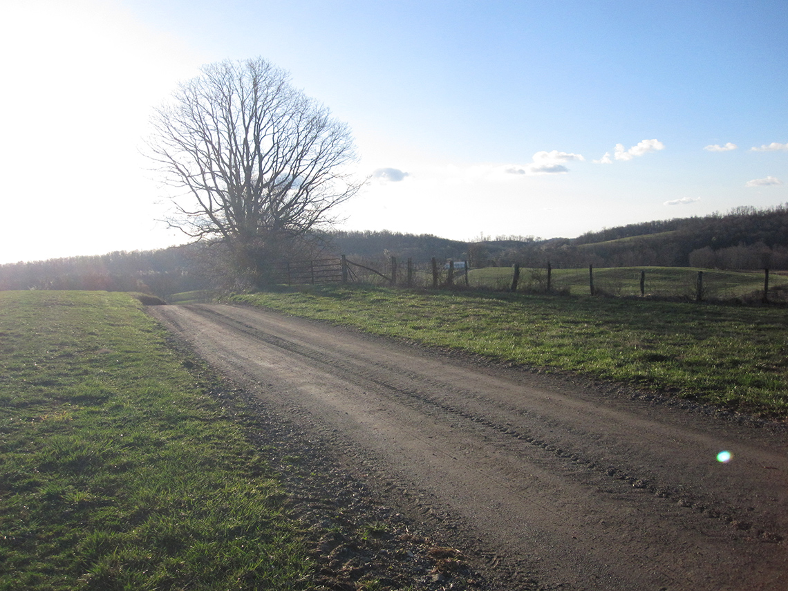
The A.T. and Fairview Church Rd.
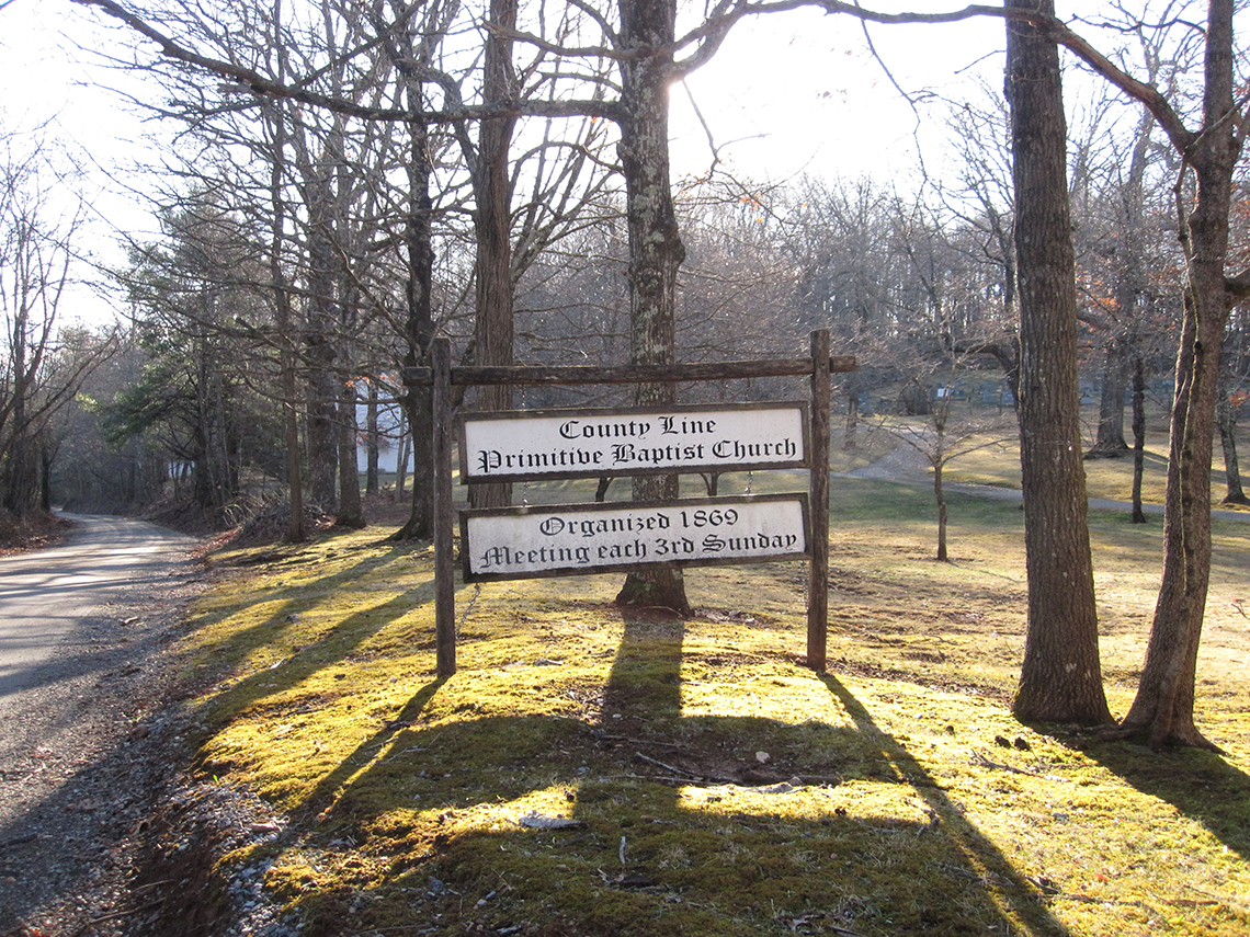
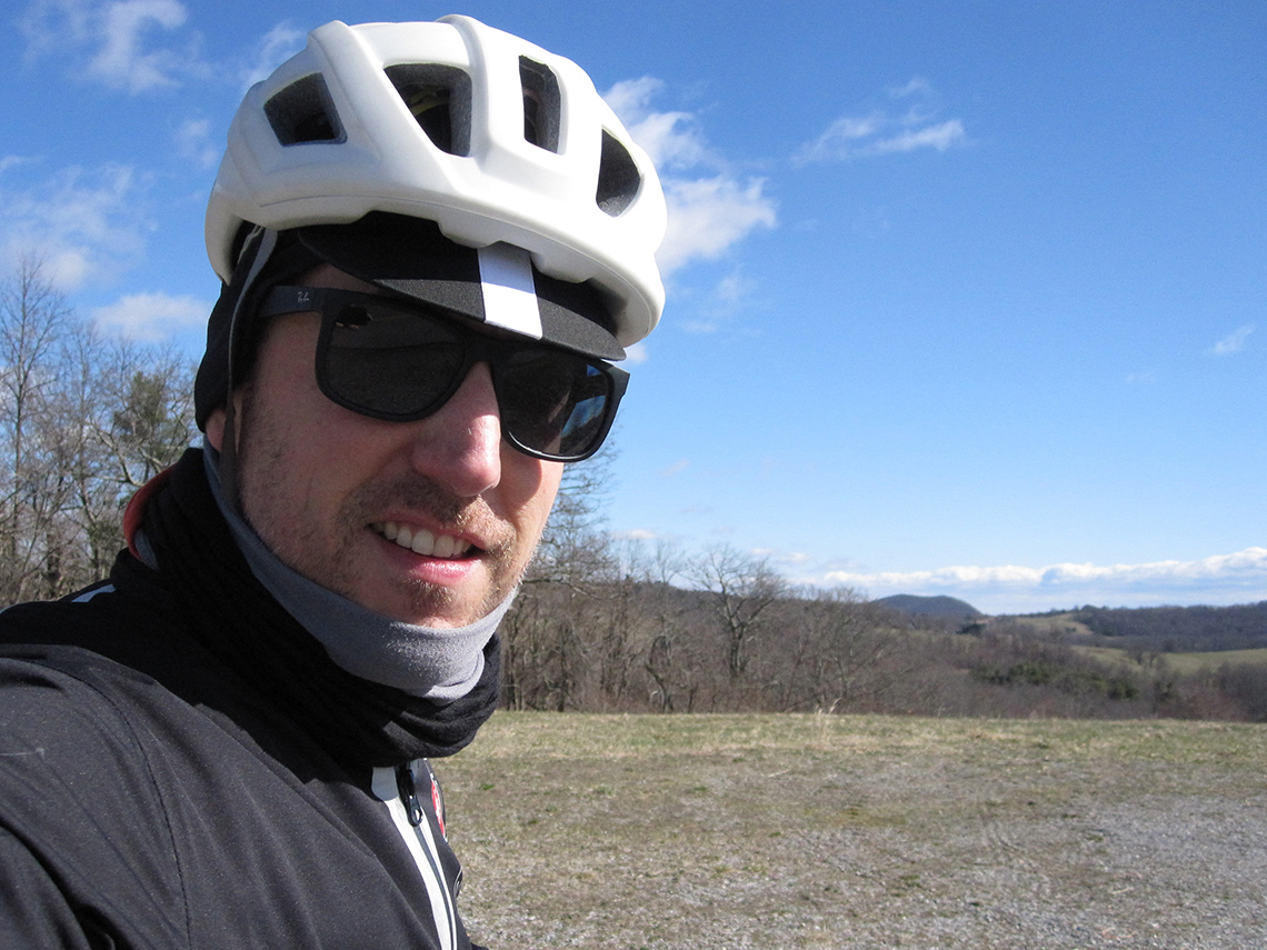
Many decades ago, the Appalachian Trail was rerouted away from the Floyd County area north to where it is today. The County Line Primitive Baptist Church was once used as a landmark in guidebooks used by hikers to navigate the trail. I stopped here to take a photo and shoot off a text to my wife as proof of life.
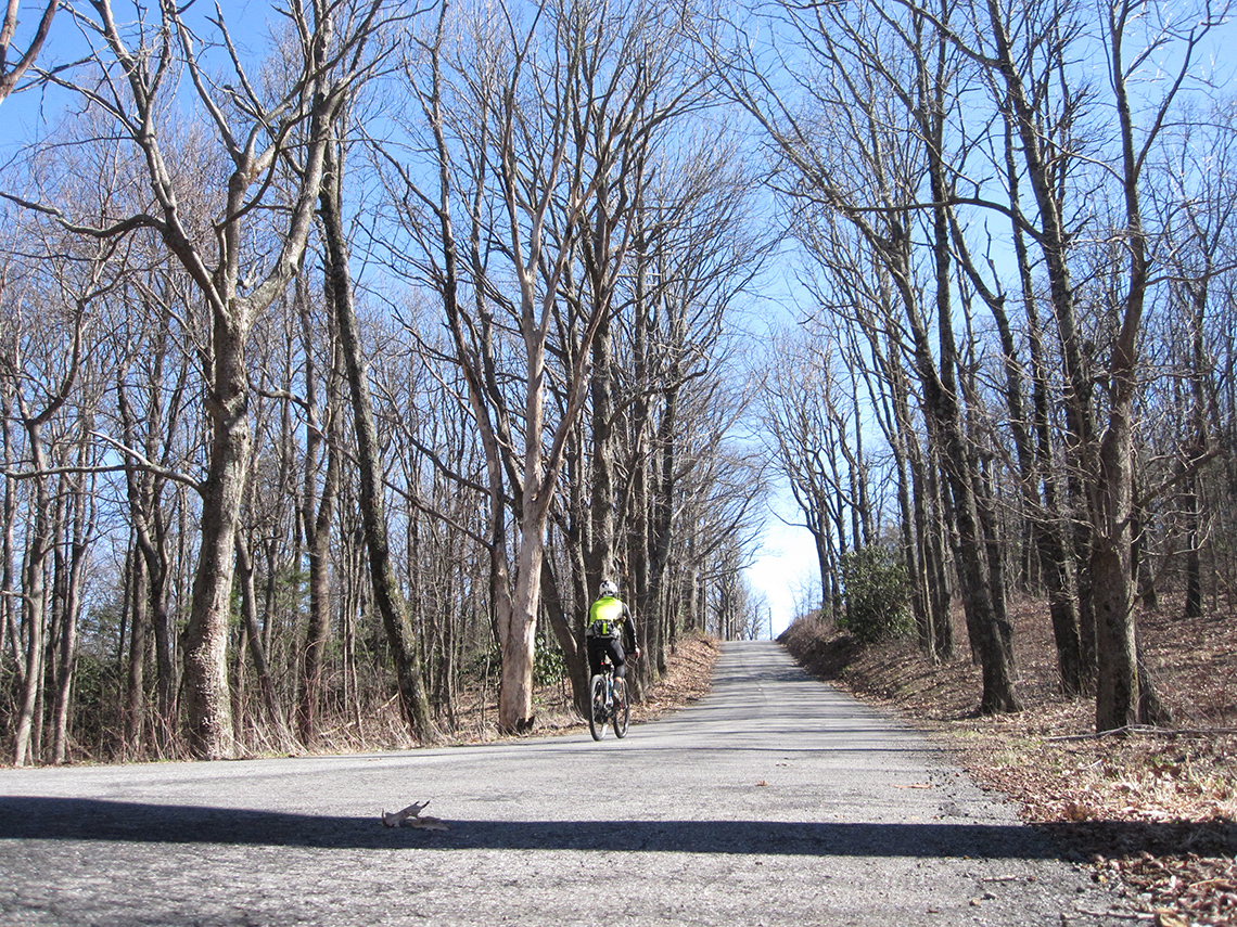
The dirt along this section of the route was in such great shape; smooth and buffed out after a winter of freeze thaw conditions. I easily cruised through much of this part as it paralleled the Parkway in many spots. As the route headed southwest towards Rocky Knob Recreation Area, there was one final major climb up Fairview Church Rd. This climb was stuck in my memory as one of the quintessential spots from the 2022 ride so I had to stop and snap a couple of photos.
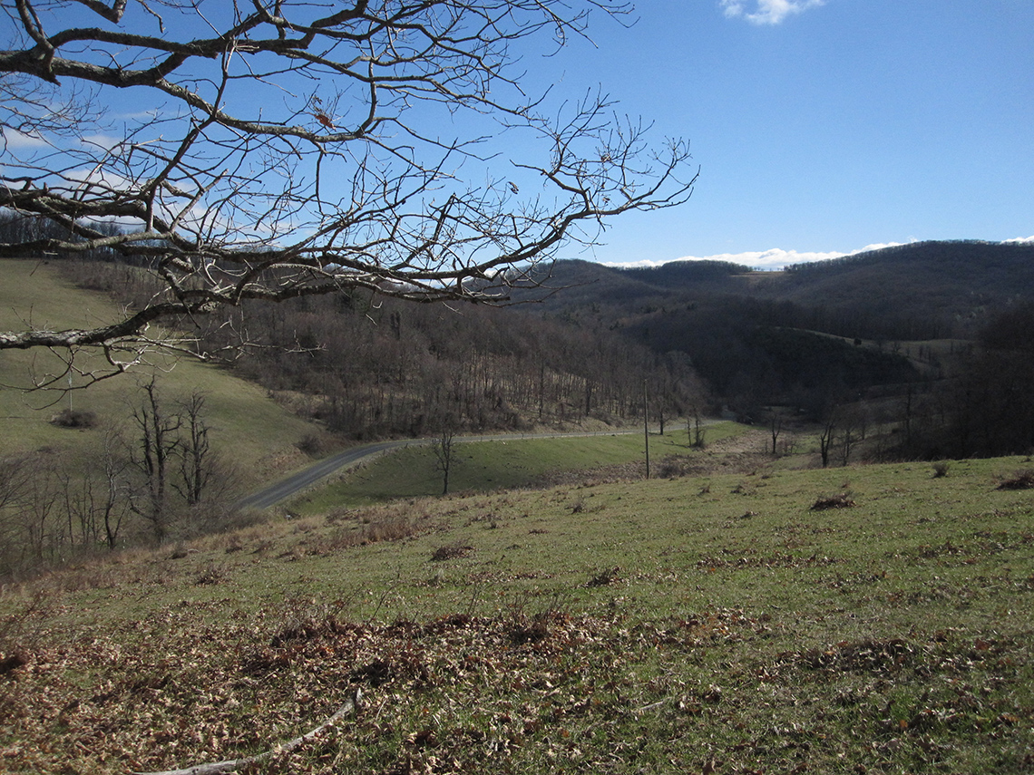
Belcher Mountain Rd.
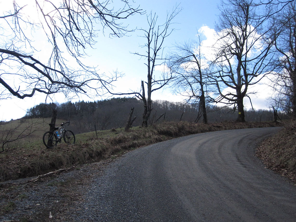
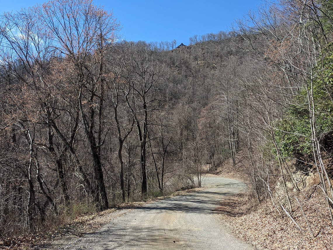
Whole sections of this post deserve their own set of photos as a tribute (or maybe they don't so they remain somewhat wild). Belcher Mountain Rd. is one of those special gravel roads. It's long and meandering through a rolling landscape of farmland along the plateau. Towards the end, it dives down into Franklin County on a treacherous descent of the continental divide. I was all smiles at the top and slightly terrified at the bottom (but don't worry... I descend like a 40-something year old dad with 2 kids, a wife, a mortgage, and mediocre health insurance). a.k.a. SLOW AF.
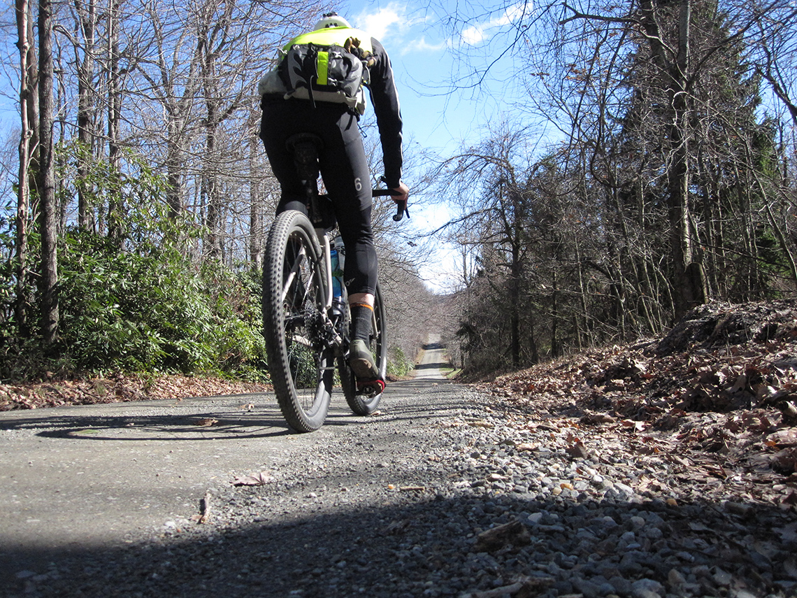
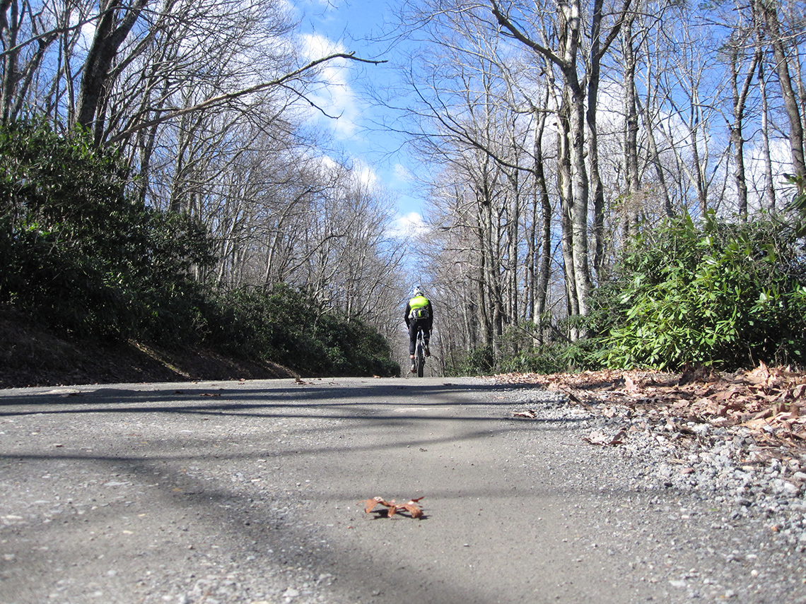
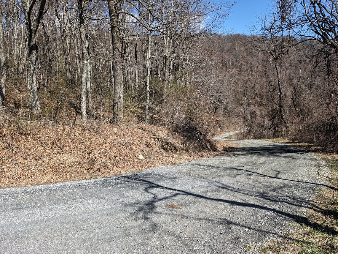
These pics don't do the descent justice. It. was. STEEP! Note the cabin at the top of the ridge.
The Final Stretch: Deer Run Rd. and Runnet Bog Rd.
After the death defying descent, I stopped at Jack's Creek Church and found a spigot to refill one of my bottles (there are no stores along this route). The route then cruises along rolling valley roads for a while. Some of them paved, many of them dirt. One of my favorites along this section has to be Deer Run Rd. which consists of a perfect mix of gravel and pavement and feels isolated as it traverses the valley through the forests of Franklin and Patrick counties.
The final climb up Runnet Bog Rd. was as steep as ever and seems to go straight back up the continental divide with 18%+ grades. It's such an abrupt way to end a sublime route and both times I've experienced it I have had to walk most of the climb after the big effort from the day. 7:32:32, 58.26 miles, and 8,474 ft. of elevation gain later, I was back at the car at Smart View.
The final ascent is definitely an exclamation point to this bucket list ride. I'm glad I made the decision to brave the windy conditions at the beginning to see it through. These roads are a treasure and I hope they remain wild. Experiencing this area by bike will stay in my mind as a cherished memory I hold on to forever.
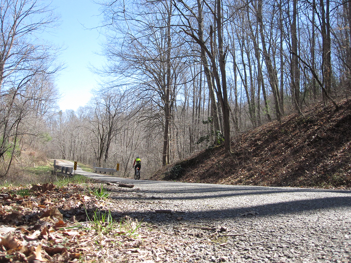
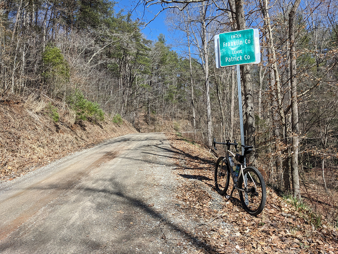
Farewell Tour de Dirt Route. Will I ride you again? Who knows... I hope I'll be fortunate enough to travel back down to do the Appalachian Journey or Mountaineer one day.
In the mean time, there are so many epic gravel adventures that await in Ohio!
